Plague Fort
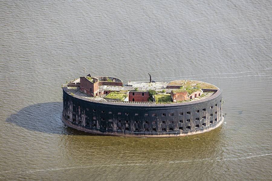
A doughnut-shaped fort in the sea where plague was studied for 20 years.
The oval fort "Emperor Alexander I" stands on an artificial island south of Kotlin. Its walls are like the top half of a lying doughnut: the curved surface was meant to make cannonballs ricochet. The fort saw almost no fighting, and from 1899 to 1917 it was given over to a laboratory for studying plague: an isolated island in the middle of the sea was ideal for dangerous work. Here anti-plague serum and vaccines were prepared; they say horses were kept and lifted up on a special hoist. Hence the popular name — Plague Fort.
Walks in Peterhof / Day trips
⚓ Kronstadt: zero elevation, cast-iron pavement and the Plague Fort
A naval fortress on an island: the Naval Cathedral, the only cast-iron pavement, the booth from which Elbrus is measured, the garden of the discoverer of Antarctica and forts in the sea.